Anmyeondo
안면도 · West Sea
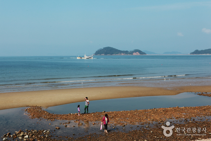
Linked by 안면대교 · 안면연육교
- beach
- natural monument
- forest
About the island
Anmyeondo Island is the sixth-largest island in Korea.
Originally part of the mainland, it became an island after a canal was constructed to improve grain transportation.
In 1970, a bridge reconnected it to the mainland.
It is renowned for hosting Korea's only maritime national park.
The island boasts fourteen beaches and the Anmyeondo Recreation Forest.
Source: Korea Tourism Organization
Places nearby
 두에기해변1.4km
 동아리조트1.6km
 밧개해수욕장1.7km
 방포해수욕장1.7km
 할미할아비바위2.5km
 두여해수욕장2.7km
Ferries onward from here
Fishing
Nearest official fishing point: 방포항 (3.8 km)
- Korean rockfish
국립해양조사원 바다낚시지수 (data.go.kr 1192136/fcstFishingv2)
Tides and today's fishing indexOpen in Sea & Catch (Korean)Camping nearby

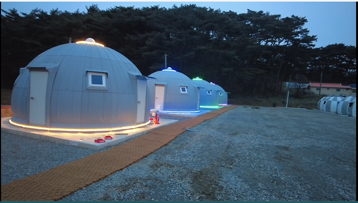
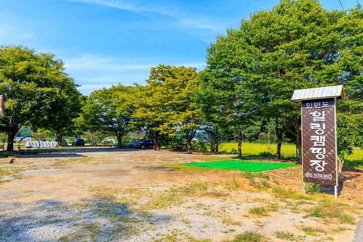

Photos: 한국관광공사 고캠핑 (GoCamping)